Tuesday, September 29, 2015

9-29-15 NIMO Operations Job Opening Outreach

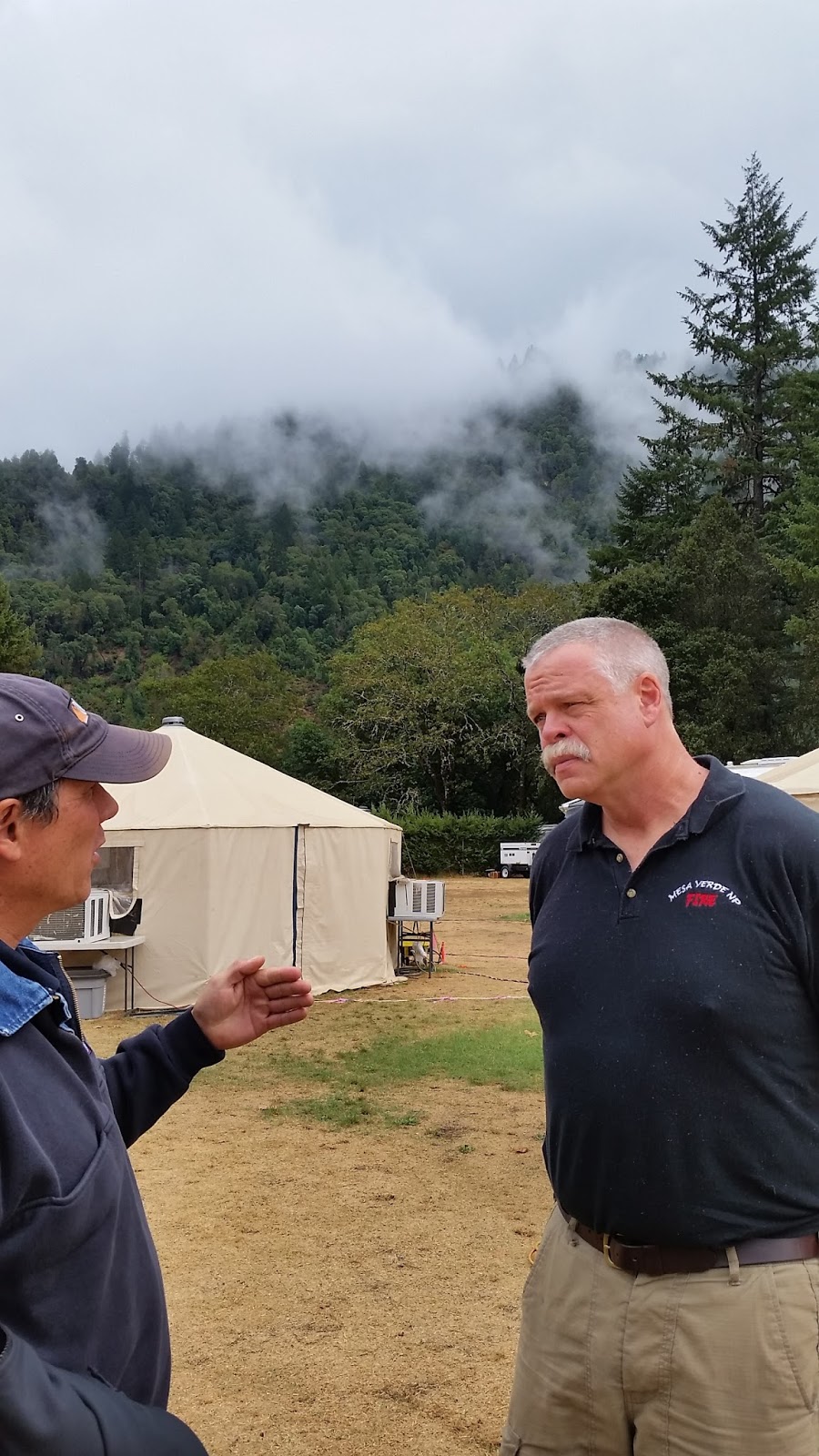
NIMO OSC John Giller (left) talks
with incoming OSC Steve Underwood

Would you like to consider a NIMO Operations Section Chief job?  There's an opening so please respond to this outreach.  We'd like to have a good field of candidates. Click here:

OSC Outreach

It's a great job in which you can pursue many of your personal interests in regard to making Operations better in wildland fire.  We travel to interesting places, get to interact with and meet interesting people and you can live anywhere you like because the job is virtual.


Contact any NIMO you know for more information or contact NIMO Coordinator Robin Cole at:

404-805-7083 Cell or email: robincole@fs.fed.us

9/29/15 NIMO IC Hahnenberg Introduces a new APP at the River Complex

NIMO IC Bill Hahnenberg introduced firefighters to a new "APP" at the River Complex on the Shasta Trinity National Forest, September of 2015.  It was a great message about managing large, long-term fires.


9-29-15 Relaunching the NIMO Blog

For anyone who might have tried to follow this page,  we have not been very good about using it to share what we are doing or what we see YOU all doing that we think is valuable.  But that will soon change and we will be posting more things here.  If there is something you'd like to see here that originated with NIMO, please let any NIMO know and we will run it by the Executive Council.

Thank you for your patience

Saturday, May 17, 2014

5/16/14 Pam and Peter for FireSmart - Kaiteriteri National Park


Peter talks about the native species he
 has planted on his property
We began a very nice, sun filled day by going to meet Pam and Peter Holloway at their home overlooking Sandy Bay and the Tasman Sea, in the Golden Bay area.  They have been instrumental in bringing FireSmart to the Sandy Bay area and to the 35 homeowners who live there.  They hosted us for tea and conversation about how that program is working, citing a common universal problem of getting all the neighbors to support efforts to eliminate "wildings" which are non native Radiata pine trees. 
The group enjoys tea on the deck

Beautiful beaches
Following tea, we headed for a wonderful day boating and hiking in the Kaiteriteri National Park, a place with with several of the "Great Treks" of New Zealand.  They have a significant hut system along
Our boat for the trip
many miles of trails in the 22,000 hectare Park and we had a delightful time on about 5 miles of the trail.  Some pictures here but more in the dropbox!

Everyone enjoyed a  walk on the beach
Many more pics will be in the dropbox of this beautiful park.

5/16/14 Nelson - Richmond


Morning found us on the bus again for a 292 kilometer bus ride north to Nelson at the very northern end of the south island. We drove on a cold morning up through the New Zealand Alps, through Lewis Pass, with beautiful views of the mountain peaks, rolling fog and some frosty ground, stopping at a high point called Hope Pass.  Down and out of the mountains, we stopped for lunch at Richmond and listened to Ian Reade with the Rural Fire Authority for the Waimea District who told us about the area

Nelson and the Tasman area has a population of 100,000 people, half of which live in town and half in surrounding areas.  The main economic activities are: Exotic Forestry (non indigenous, mostly Radiata) and wood processing (medium density fiberboard, laminated veneer). The forests are similar to South America and were all privatized in 1990 and currently, 30% - 40% of wood goes off shore and the rest is
Ian Reade presents in Richmond
domestically used.  Other industries are horticulture (Apples, kiwi, grapes, hops) which uses fire quite a bit, tourism (3 national Parks) and seafood (largest fishing port in Australasia, hoki, Orange Roughy, flounder, snapper and farmed salmon, mussels & scallops).  Summer temps reach 70 to 85 degrees with RH's as low as 20% and winter temps of 50 to 65 degrees.  The northern most point of the area gets 240 inches of rain a year while just 45 miles southeast, only 38 inches per year.


The Waimea RF District is 1,018,437 hectares covering Nelson City and Tasman District. 5500 ha is Urban Fire Districts, 120,000 ha is Commercial forest, 632,000 ha is Dept. of Conservation reserves of indigenous forest and 5000 ha is agricultural. They have a Rural Fire Committee which oversees the Rural Fire Network which provides fire management through a Principal Rural Fire Officer (PRFO).  Stakeholders own all the equipment and contractors just do the firefighting & maintain the equipment.

The areas around Nelson and Richmond

The area is managed in zones primarily by the kind of land: conservation, exotic forestry etc.  There are only three seasons: open to burn (with conditions), restricted (permit required & conditions) and prohibited (no fires but some exceptions).  Most of the Waimea is restricted all year except for a few areas where its prohibited.


The risk profile is similar to many tourism based places in the US:  WUI areas, steep terrain with heavy fuel load, a lot of tourists, commercial forests, and 67+ days of high fire danger.  Fire was used for some land management, some in land clearing, but not much any more.  It is used for disease management especially in agriculture, but most planned or prescribed burning is done by by private landowners in yards and gardens.


The PRFO is in charge of 7 of the rural fire brigades.  The volunteers do deal with structure fires, vehicle accidents and other things because they are often on scene first, but there are urban firefighters trained for those things.  They use fire lookouts as fire weather index goes up in the summer as a lookout and as an initial coordinator between the 111 call (their 911) and those first on scene.  The lookout also watches for smoke when there are restrictions and the public knows he is there and watching which serves as a deterrent. 


They do run a preparedness program through the forestry company which goes out at 10 am to let forest production operators know the fire danger rating and the crews must stick to the rules associated with that danger class.  As it gets worse, they are required to repeat back on the radio to ensure they understand. Publicity is done all summer aimed at visitors and patrols are increased. 
The ocean at Nelson in NZ


FireSmart is also in place, their version of FireWise.  It's aimed at rural communities and the WUI and just informs the public about the risk to life and property and stresses that they should not rely on the brigades coming to save them.  Mostly focused on fuel reduction by going into communities to show them the tools they can use to reduce their risk.  

It's interesting that at least on the South Island, the New Zealanders don't really have prescribed burning as part of hazard reduction - certainly not in indigenous vegetation since fire is not believed part of the ecology here since lightning is very rare. Mechanical reduction is all that's allowed. The only burning that's done is by private landowners and on agricultural land.


The Rural Fire Authority is very aggressive in pursuing remuneration from those who have caused fires.  In some high profile cases, where the RFA won the court judgement against a resident who had started a fire in a business, but who did not have commercial insurance to pay the costs, the publicity has caused others to make sure they get insurance and are more careful. The couple who lost the case was also required to share their story with other people.. Defendants usually settle out of court because the RFA has the backing of law to collect and they usually do.  They don't have to prove negligence only causation which makes it easier - if you caused it, you pay even if you didn't mean too. They want home and land owners to realize they have primary responsibility to take care of fire on their property.  In the Urban Fire Districts, it doesn't work that way.  People pay a tax on insurance to pay for fire protection and those who start fires  are not prosecuted.


5/14 & 15/2014 - Christchurch - University of Canterbury - Hanmer Springs


May 13 was the last of Tasmania  as we headed to the airport at 4:30 am on the 14th, to fly to New Zealand.  We landed in Christchurch about 3:30 pm due to the 2 hour time change, met our new host/guide Murray, and spent the afternoon working on various writing projects. A few people headed to downtown Christchurch for dinner but found much of downtown closed up.  The downtown area was devastated in the earthquake in 2011 and is still recovering with a whole "container mall," an area of downtown completely made of the large containers found on ships and trucks, where they have built temporary shops and restaurants until they can rebuild.

We were briefed at New Zealand's Canterbury University which houses the Forestry Program and SCION,
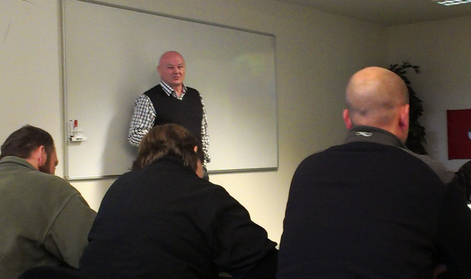
Murray Dudfield talks about the earthquake in Christchurch
the forestry research arm. We spent the morning hearing the details of the 6.3 earthquake in February 2011 that devestated the Christchurch area, including the University we were visiting and which was obviously still under construciton. Over 6000 companies with more than 50,000 employees in the Central business DIstrict were affected - in fact, no one went back in that district for 6 weeks. 173 people died and the area is sill recovering.

Grant Pearce with SCION
We heard from Grant Pearce, a researcher and senior scientist with SCION about the projects on which the university is working. 75% of research money is from the NZ government and they have been funded for 20 years. Focus is changing a bit now to the National Science Challenge, which focuses on all hazard research. The other 25% comes from a collaboration of end users, the Rural Fire Industry, Bushfire CRC and USFS/JFSP.

Tech transfer is a major focus of the research program - how to get the results out to people in the field. They have had to produce different tools because they find the conversation about application of the research on fires is different for each audience. They produce reports, summaries, have a website and email newsletters, conduct research sharing workshops and they have developed training tools such as a field manual, software, smartphone apps, and photoguides.

There are four research themes for 2012-2016
1. Emerging risks in new fuel types - climate change
2. Enhanced community resilience -educating at risk people, fire readiness
3. Use of fire as a land management tool - issues/ benefits, impacts on ecosystem
4. Improving safety and productivity - production rates for firefighters, new suppression technology

There is a very Polynesian influence here, culturally and in the flora.  The names you see are reminiscent of Hawaii and the vegetation is not primarily fire adapted like in Australia.   They don't have the "bush" like you see in Australia, but rather coastal plains around the edges, and in the center, heavily forested, mountainous terrain with few Eucalypts, and instead plants like Kanuka and Manuka.  The New Zealand Alps run north/south in the middle of the south island.

You don't get the sense that they are as focused on fire here as in Australia which makes sense as this is not historically a very fire prone area and they have many other recurring natural disasters to worry about that
happen more frequently like earthquakes, mudslides and drought.  As a result,  they have difficulty getting the public to be concerned about preparedness. There is no prescribed burning done on public lands; instead they provide some equipment and rely on private citizens to do their own burning on their own lands. It's believed there never has been much natural fire here because there is no preponderance of fire adapted species. Their primary fuels are coastal dunes, coastal scrub, manuka scrub, kanuka scrub, mixed native scrub, wilding (non commercial pine), commercial forests (big industry), tussock and grasses, snow tussock & 5 species of Beech in the high country and a pine mix.  New Zealand is very good at growing grass which is why its highly agricultural.

They are looking at effects of climate change on fire since they are seeing significant increases in fire danger in most of the country. And they are predicting rapid increases in fire danger through 2040, almost doubling the number of days in extreme range. They have a new National Fire Weather System showing historic, current, & forecasted weather all in one place which became operational in Aug of 2013 and is linked to a smart app "Fire Danger Rating" for the public. The app uses GPS to find weather nearest the user and links weather to fire danger, to tell them what activities to avoid. So far they have only piloted a beta version of the app but it will be going public soon.

Buckets hand from the ceiling
Following our discussions at the University of Canterbury, we  made our way to Rangiora Rural Fire
Bagged fire hose ready to go.
Regional office and depot outside of Canterbury where we had some fun looking at equipment and hearing about their fire program. We learned about the Department of Conservation which has responsibility for protecting reserves. Fire is not allowed in the reserves as they contain many "last of their kind" species that are not fire adapted. Their difficulty is that what's left of these species is often in small 2 or 3 kilometer patches, some in the enter of privately owned land, and much of it looks like nothing but  grass.
Convincing people to fund protection programs or not destroy patches on private land is challenging.

Then we headed up to some pine plantations near Hanmer Springs. Hanmer Springs is a beautiful mountain community known for its miles of "tracks" or trails popular with "trampers" or hikers.  They have trails for horses, for bikes, for hiking and many other uses and a very popular hot springs. Interestingly, it's actually a managed plantation which allows
Hanmer Springs Forest
recreational use. There used to be a New Zealand Forest Service which owned the land and managed plantations, but like in the US, much land has been given back to the indigenous people. In addition, the forests on much of that land is now owned and managed by timber companies, many of them US companies. An indigenous group called Ngai Tahu owns the forest land in Hanmer Springs, Rayonier Matariki (an American company) owns the trees and the New Zealand Forest Service doesn't exist any more.

Recently cut plantation forest.
We took a short trip into an area of the forest recently cleared by the timber company and two things stood out to me. First, things grow very fast here. A 6 year old Radiata pine is as tall as a 20 year old Radiata would be in the US. So they harvest Radiata at about 25 years and Ponderosa at about 45.  Second, they also plant up the sides of some very steep mountains, and use equipment in some unorthodox ways to harvest!!  They said they often have to drop feller bunchers or similar equipment over the side of a mountain on a chain and winch to cut in a straight swath down and then pull the cutter up, move it and drop it again! Not exactly to manufacturer specs!  Our evening ended with a few members of the group enjoying a few hours in the hot springs!
Scenary on the way to Hanmer Springs